
hi, I am
Prince Oppong Boakye
hi, I am
Prince Oppong Boakye
Researcher
Researcher


Developer
Developer
Scientist
Scientist
Geoinformatics • Spatial Data Science • Open Science
GeoHealth & Spatial Epidemiology, Spatial Statistics, Spatio-Temporal Modelling and Reproducible Research/
about me/

Prince Oppong Boakye is a Geoinformatics and Spatial Data Science researcher specializing in spatial modeling, statistics, and GIS. Using quantitative methods, Earth observation, and remote sensing, His research analyzes disease dynamics, human mobility, and environmental systems. He is dedicated to advancing reproducible research, open science, and the development of spatial decision-support tools.
technical skills/
Software & Data Engineering
R, Python, SQL, JavaScript, React Native, Full stack, Docker, Git/GitHub, LaTeX, Quarto.
Geospatial Analysis
QGIS, PostGIS, Google Earth Engine, Spatio-temporal Analysis, Disease Modelling and Spatial Statistics.
Research & Reproducibility
FAIR Data Management, Scientific Writing, Version Control, Zenodo Archiving, Reproducibility.
Certifications & Training
CompTIA A+, Strategic Thinking, Cyber Threat Intelligence, Introduction to Infectious Disease Epidemiology.
my education/
MSc Geoinformatics
University of Münster, Germany
Oct 2024 – Present
Focus on spatial data science, geostatistics, and machine learning.
Thesis: Simulating Fine-Scale Population Flow for Infectious Disease Transmission Modelling.
BSc Computer Technology
Bharathiar University, India
Sep 2020 – Jun 2023
Foundation in computer science, algorithms, data structures, database systems, and software engineering.
Thesis: Sentiment Analysis with Machine Learning Using Python.
Diploma in Computer Networking
Alison – Online
2020
Foundations in network architecture, TCP/IP, routing and switching, network security, troubleshooting, and enterprise infrastructure configuration.
how I work/
- I integrate spatial statistics, GIS, and software engineering to architect scalable data pipelines for global health and environmental systems.
- Every analysis ships as an independently verifiable, CODECHECK-ready package—fully containerizing code, data, and software environments.
- I leverage satellite imagery, Earth observation, and remote sensing data to analyze complex ecological dynamics and drive sustainable development.
- My core focus centers on computational public health, mobility-driven risk modeling, and building open-source decision-support tools for epidemic preparedness.

Research with


intelligence,
deliver with
love
where I'm based/
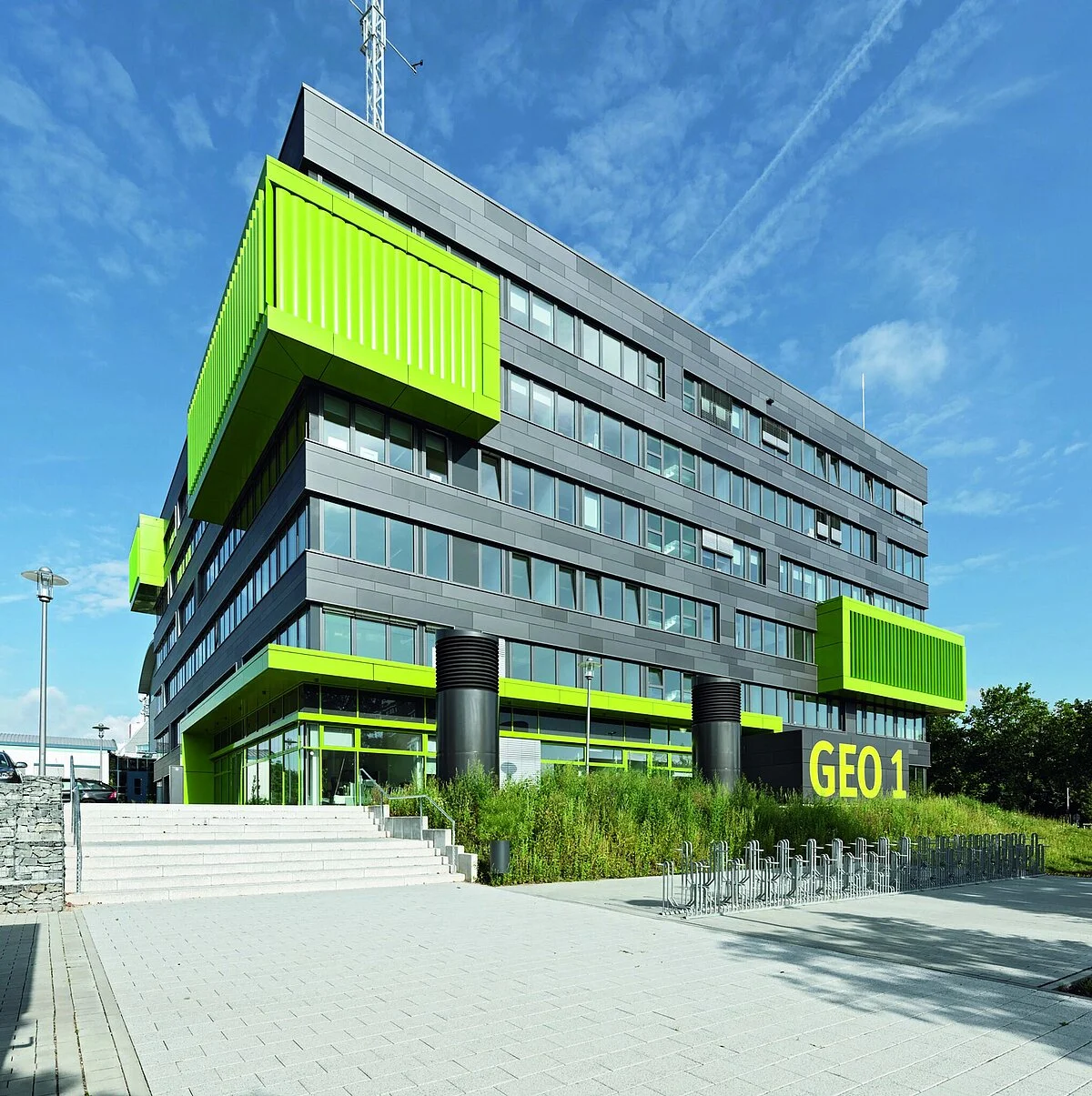
Münster, Germany – the heart of geoinformatics research

work experience/
RESEARCH


ASSISTANT
CODECHECKER

awards & honors/
- Award for Academic Excellence – Awarded in Rathinam College of Arts and Science, India, for being the Class Topper in B.Sc. Computer Technology Department.
- International Paper Presentation on Recent Trends In IT, ICT Academy International Conference – For successfully participating in and delivering a paper titled "Sentiment Analysis in Python Using Machine Learning" at the International Conference on Current Developments in Computer Science, Engineering, and Information Technology, I was awarded a certificate. My paper was accepted and published.
- Best Delegate for UNICEF, International Model United Nations – The "Best Delegate" award is given to the delegate who performs, prepares, and is the most knowledgeable in the entire committee. Receiving the Best Delegate award is typically accompanied by receiving the gavel that the chairs used to moderate the debate, thus termed "Gaveling."
- Platinum Membership, International Model United Nations – I received Platinum Membership at IMUN for actively participating in 4 IMUN conferences, recognized as a top delegate, team player, and one of the top candidates for IMUN Dais.
about my work/
see my projects
>
see my projects
>